The guide books suggest that the dog fence is the longest fence in the world.
The guide books suggest that the dog fence is the longest fence in the world.
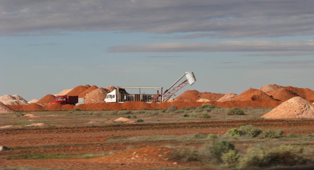
Coober Pedy is one strange town. As you approach you are travelling through arid, treeless country. (Oddly, it had rained recently, so it was quite green.) Then suddenly when you are about 10 KM out of town you run into all these piles of white mine tailings. Within the town itself, the piles join up into almost continuous tailings. Miners often start on a hill side and then turn their initial excavations into a home and keep adding tunnels.
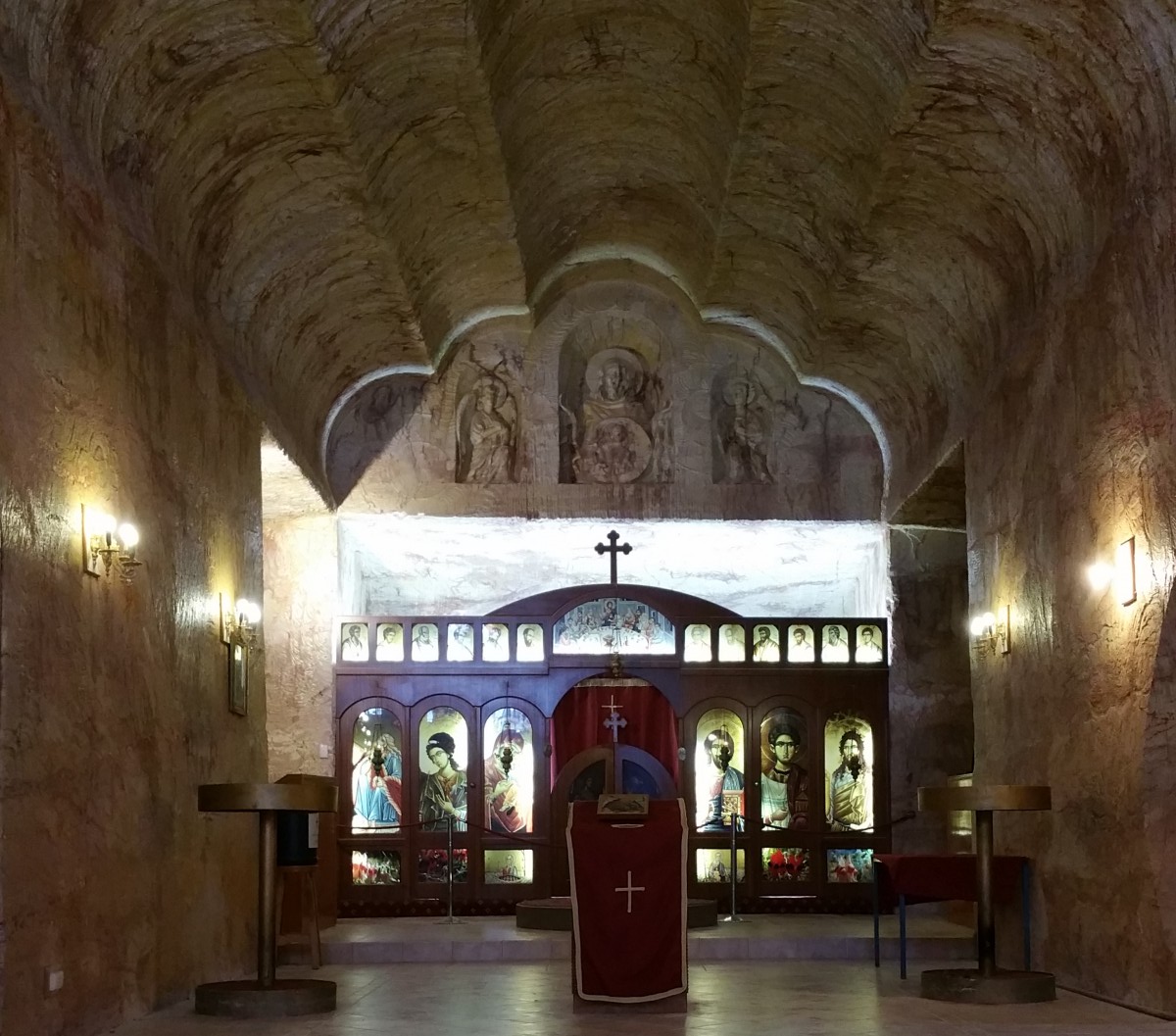
 The Serbs went as far as to excavate a church from an old mine.
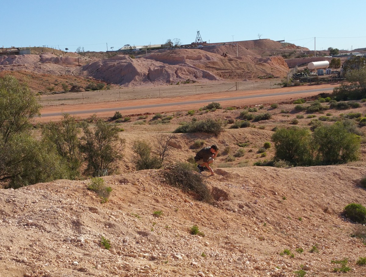
 We tried our hand a fossicking – called noodling when you re-examine tailings.
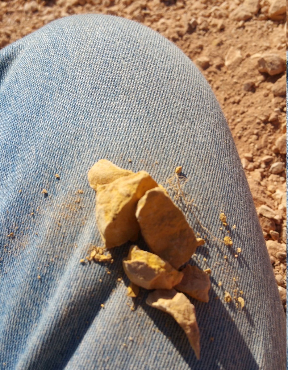
I mostly found ochre, but we all bagged some interesting silca crystals.
 To the north of the town are the stunning “breakaways”. I think I could dedicate a blog to that one. Here is a panorama I took – click for more detail.

A short distance from Uluru (50km or a 45 minute drive – distances are so relative out here) you find the Kata Tjuta. From the distance, the two rocks look much the same, but Kata Tjuta is conglomerate whereas Uluru is sandstone.
Carmel and I had the brilliant idea of of organising a wine and cheese sunset viewing. Ash stayed at home to mind the dog.
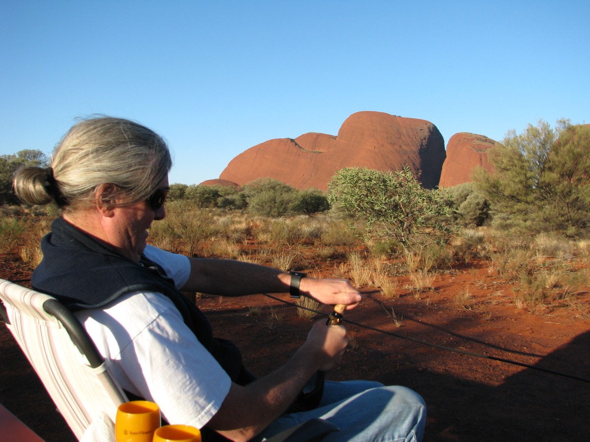
From about 6:00 until 6:30, I stood up every few minutes to take another photo. The last couple clearly suffer from “clever smart phone photo colour correction”, but you get the idea
Also, Kata Tjuta was the western extent of our travels.
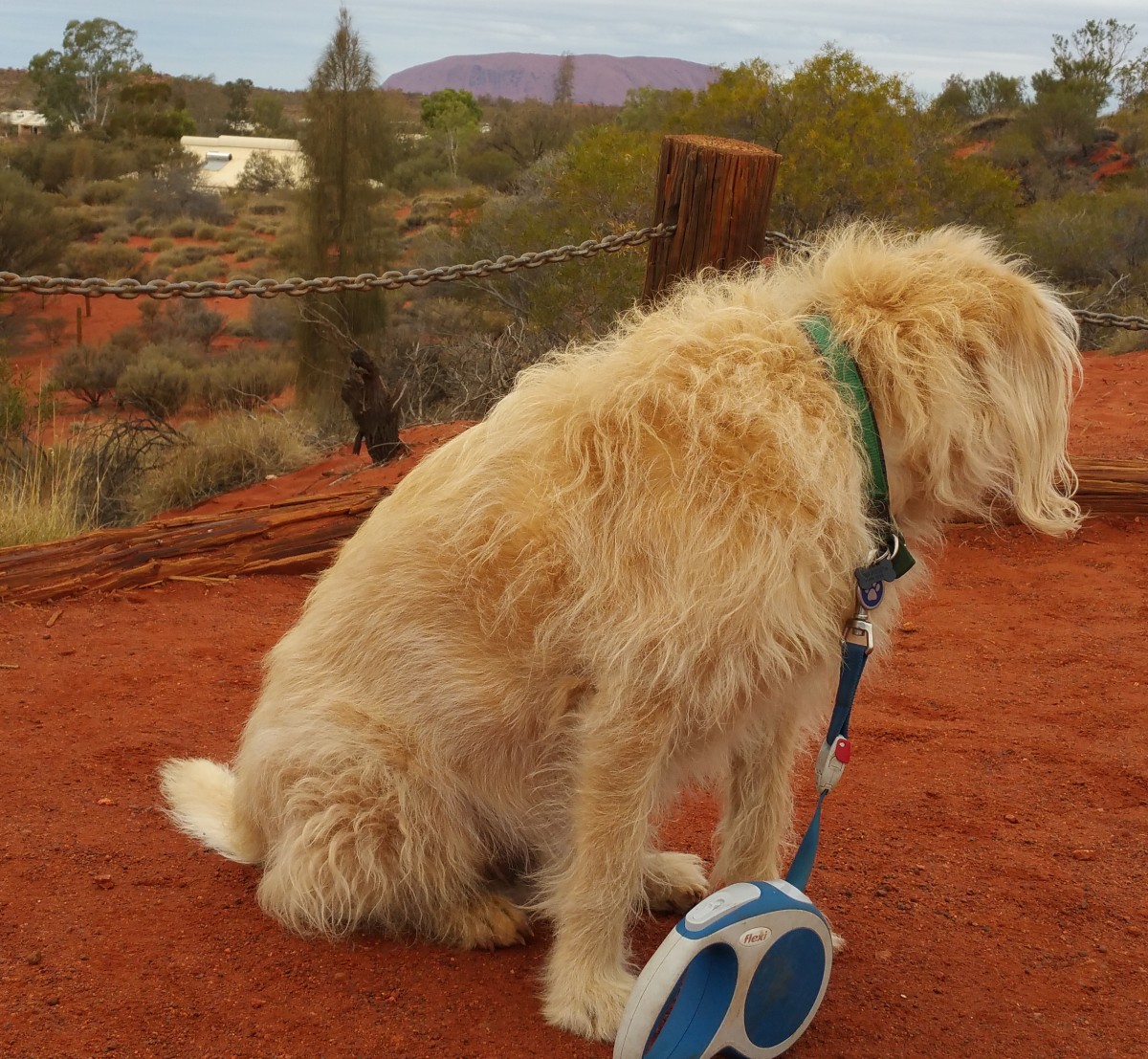
We made it! Well, most of us did; the dog could not quite get there!
It did seem quite impossible when I planned the trip that we could arrive at the centre with a functional caravan, car and family! But I think you can see from our faces that we are delighted.
We opted for a walk around Uluru, which was surprisingly different from the warnings – we had no risk to heat stroke or dehydration in a light rain, strong wind and cold (perhaps 10 degrees) air, but we kept our pace up to stay warm and made the distance.
It is very hard to give a feel of this strange icon in photos. One of the guide books suggest that the best way was to throw away the camera and use the lens in our heart.
I tried a few shots with the smart phone and a panorama software package (Hugin – open source of course). However, the feeling of this rock towering over you and the different way it was eroding from every size is almost impossible to capture.
Large areas of the rock are not photograph-able, but you can see from the bits in this article, it is a different rock in different places.
Interestingly, the actual rock of Uluru is grey. The outside of the rock has had many of the minerals leached out leaving mostly iron that has rusted. You can see the actual colour of the rock below.
BTW, Ash was with us but did not want to be in any photos.
Our next big sight was Kings Canyon. It starts with a terrifying walk up a ridge line.
At the top there is a great view of the plain around.
You then walk through these amazing structures that change at different places, some are like beehives, others like wind carvings.
You get these views of the other cliffs with interesting “swiss cheese” erosions.
Depressingly, half way through the walk you come on a deep chasm you need to climb into and then our the other side – at that point of the work, every contour line is precious!
The walk was very unusual because it rained gently thoughout. As Carmel quipped “How many people have seen Kings Canyon in the wet!”
However, Ash did not mind and enjoyed the various shapes to explore
As did I
The most depressing part of the visit though was the diesel prices!