Uluru (Ayres Rock)

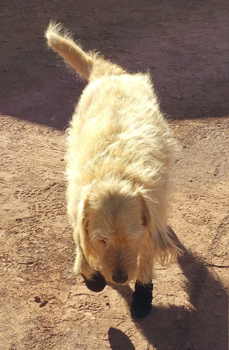
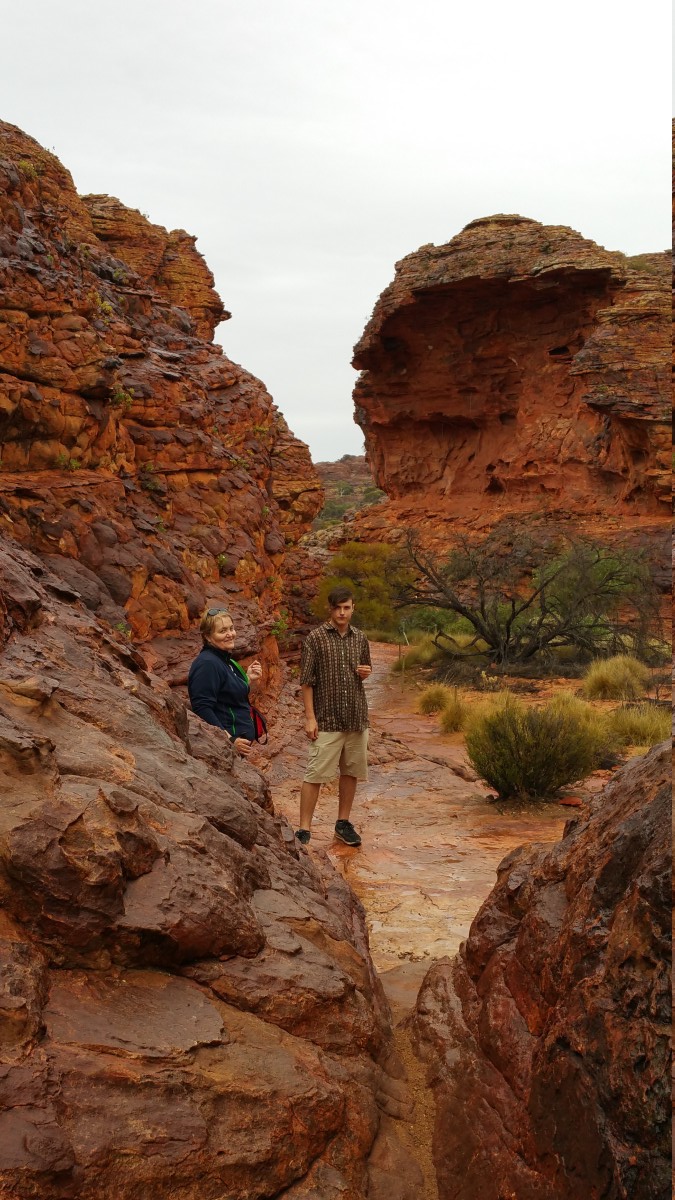
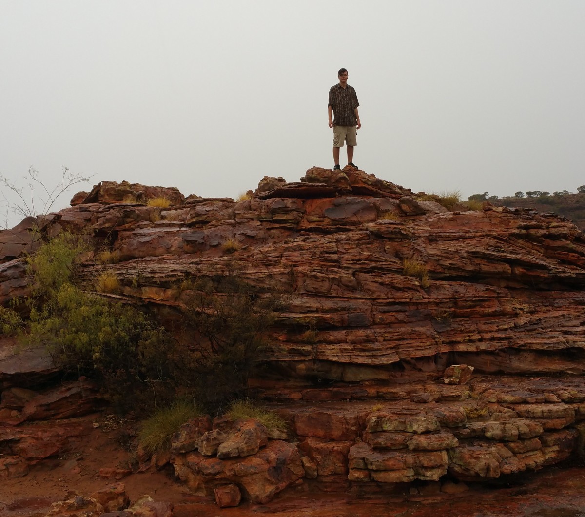
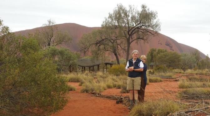
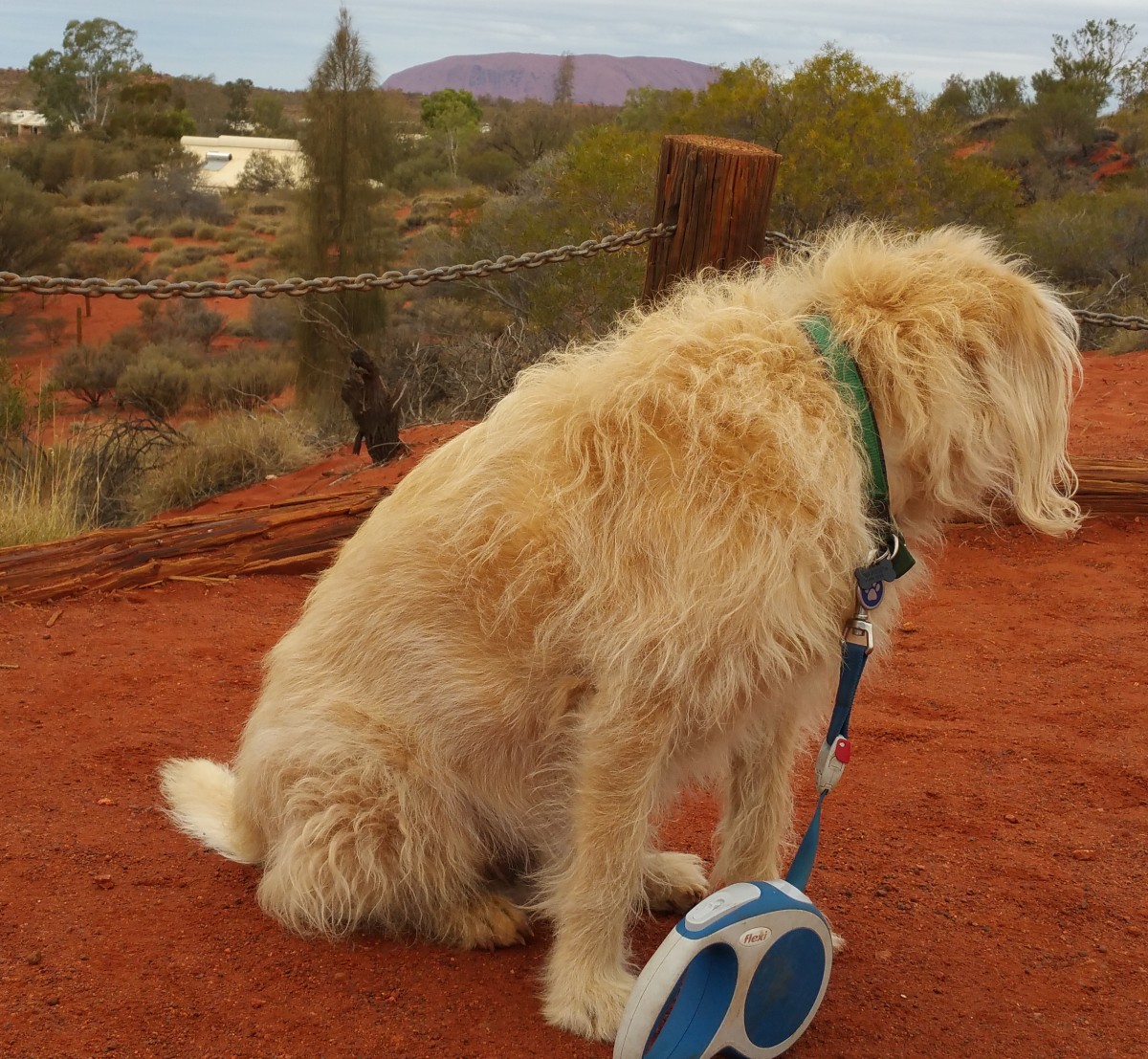
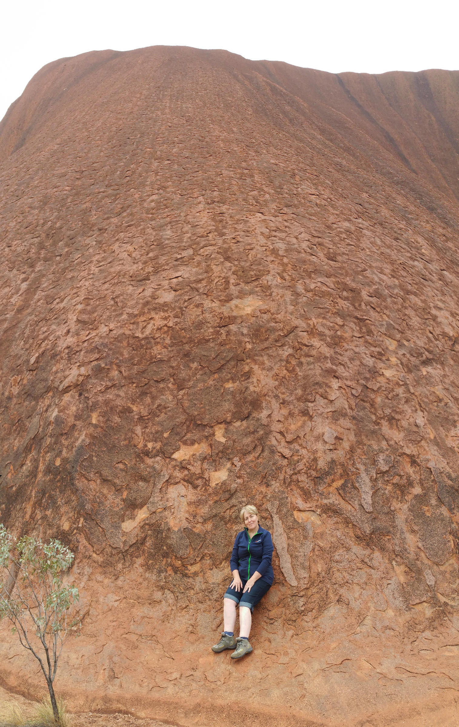
We made it!  Well, most of us did; the dog could not quite get there!

As close as Dog can get to Uluru

It did seem quite impossible when I planned the trip that we could arrive at the centre with a functional caravan, car and family! But I think you can see from our faces that we are delighted.

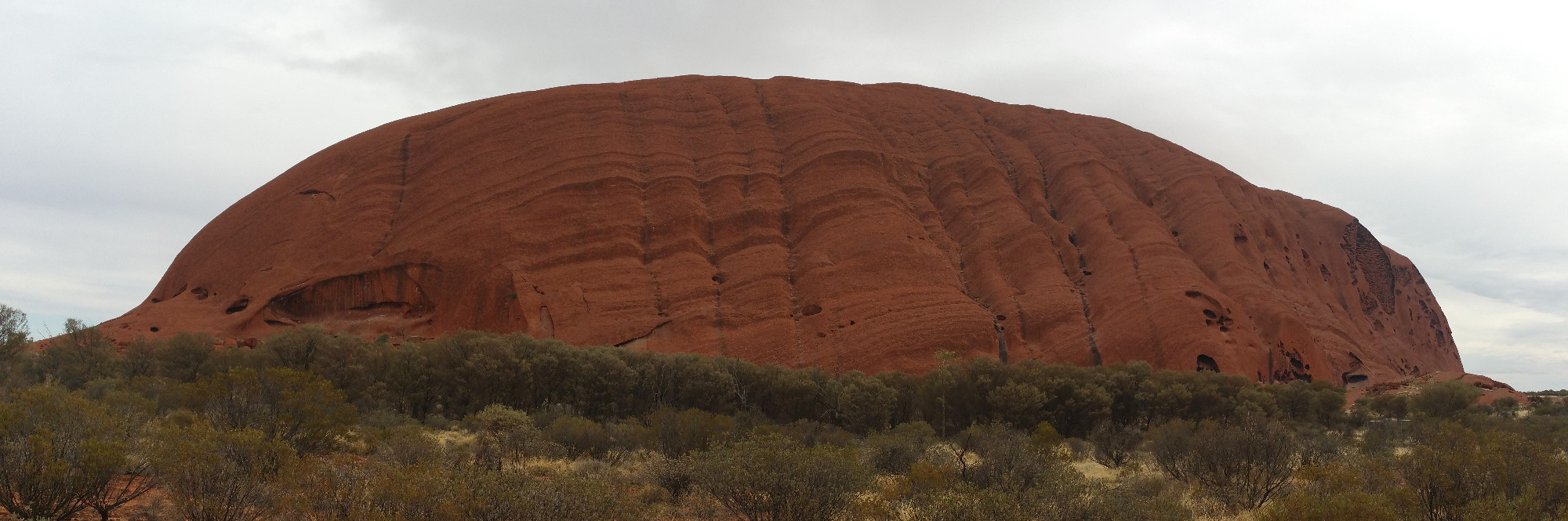
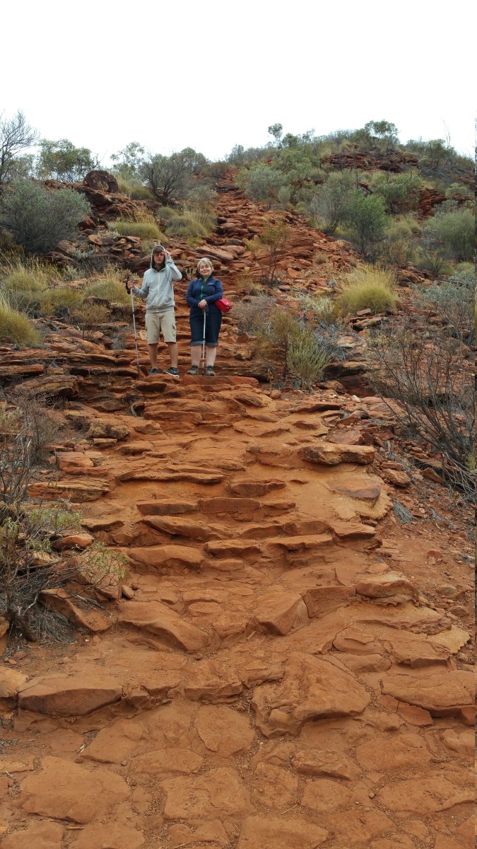
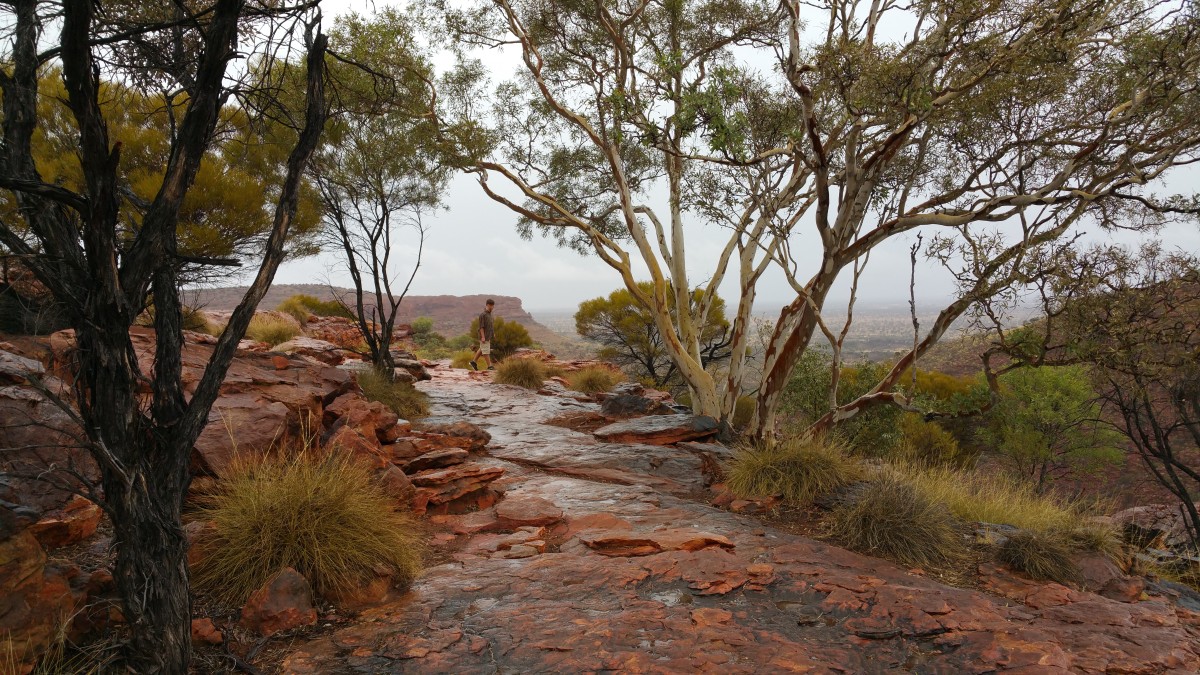
We opted for a walk around Uluru, which was surprisingly different from the warnings – we had no risk to heat stroke or dehydration in a light rain, strong wind and cold (perhaps 10 degrees) air, but we kept our pace up to stay warm and made the distance.

Uluru1

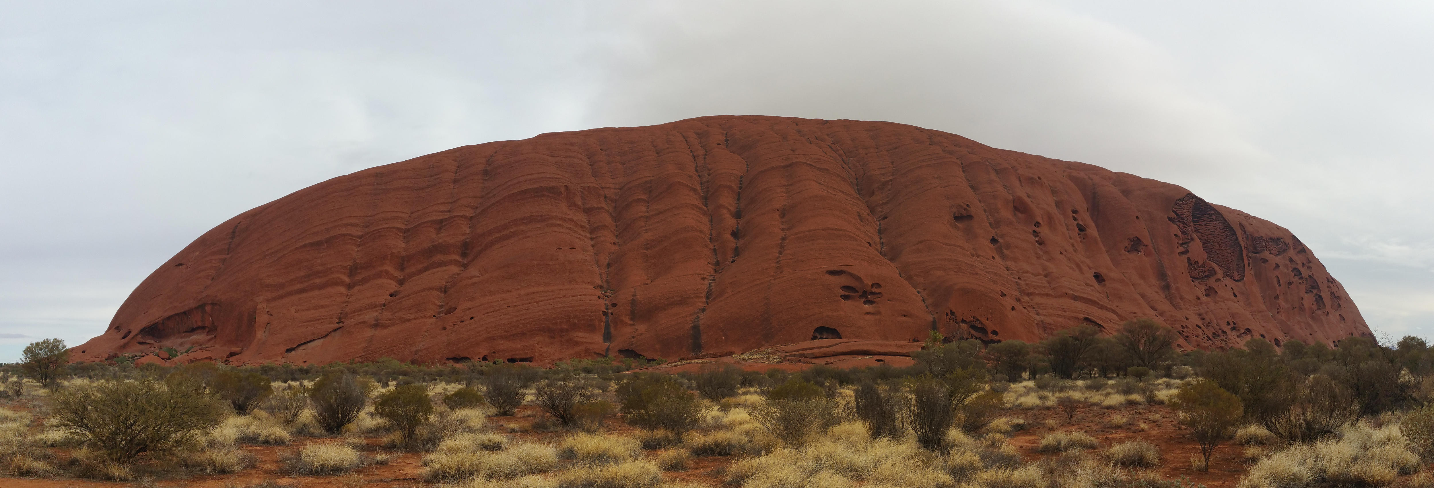
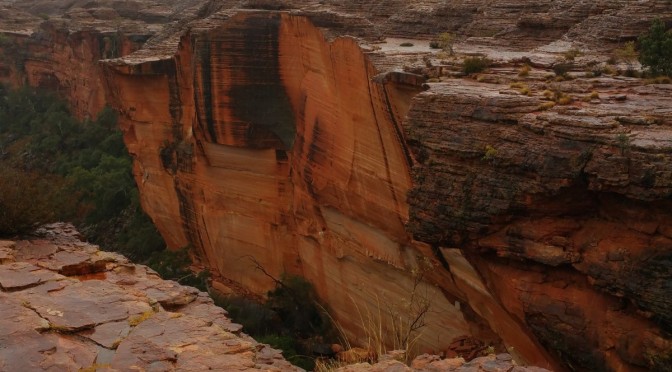
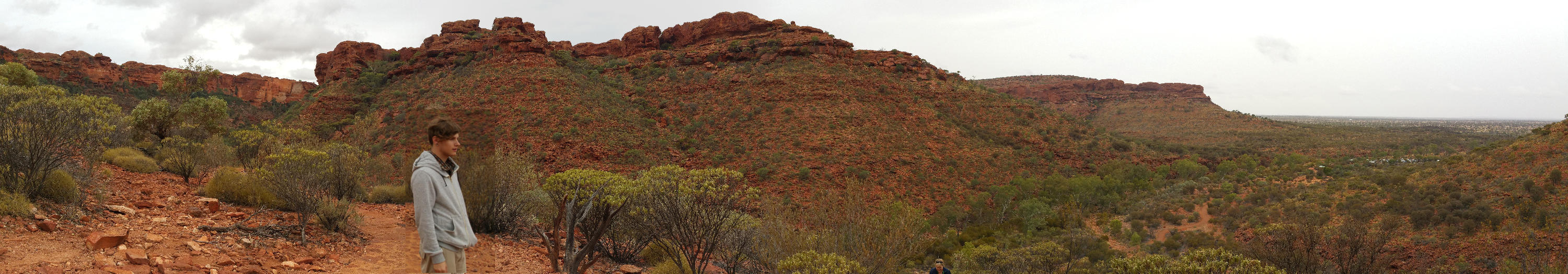
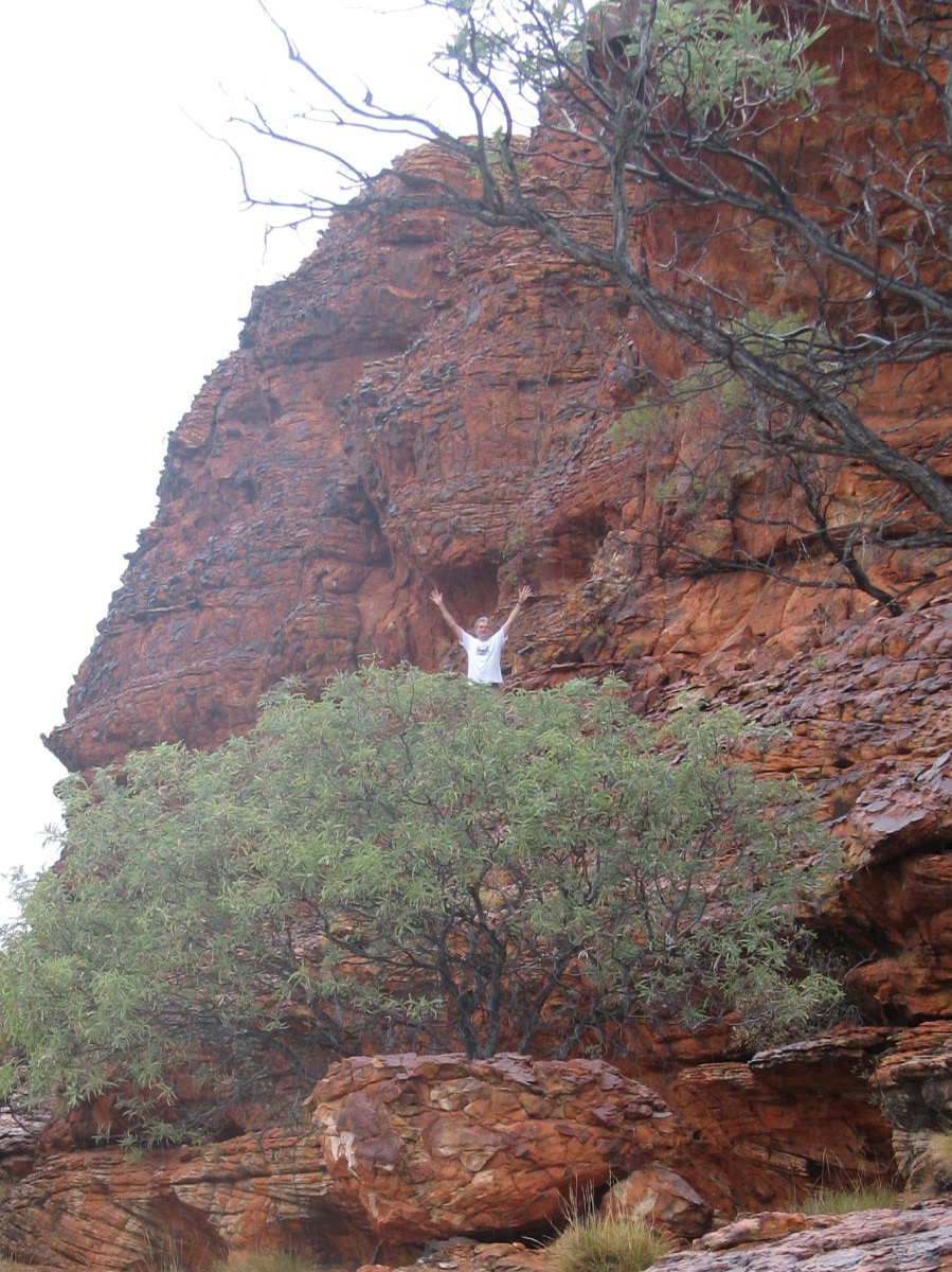
It is very hard to give a feel of this strange icon in photos. One of the guide books suggest that the best way was to throw away the camera and use the lens in our heart.

Uluru5

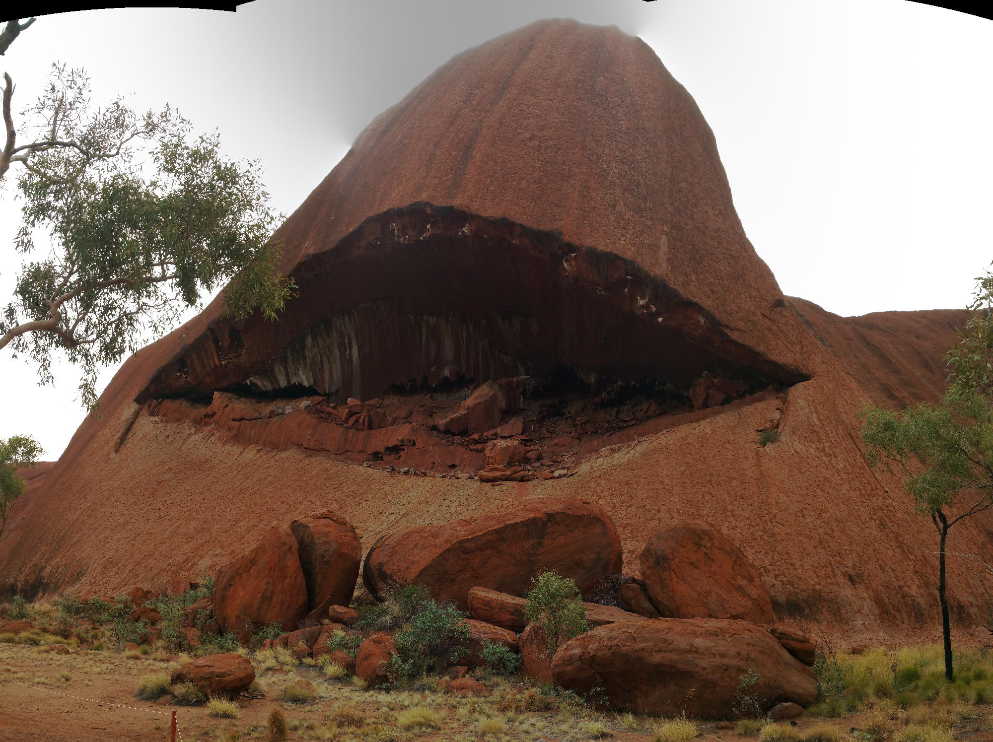
I tried a few shots with the smart phone and a panorama software package (Hugin – open source of course). However, the feeling of this rock towering over you and the different way it was eroding from every size is almost impossible to capture.

Uluru3

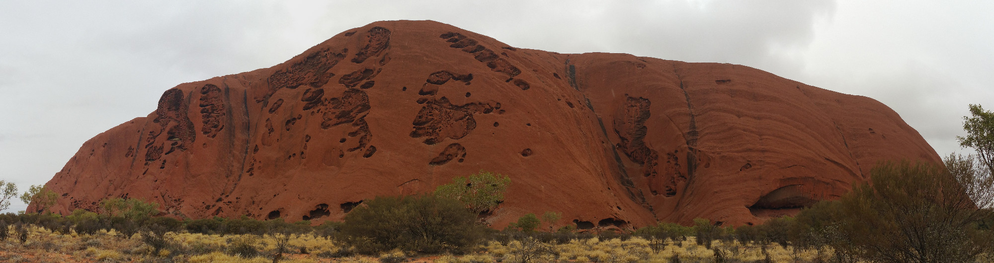
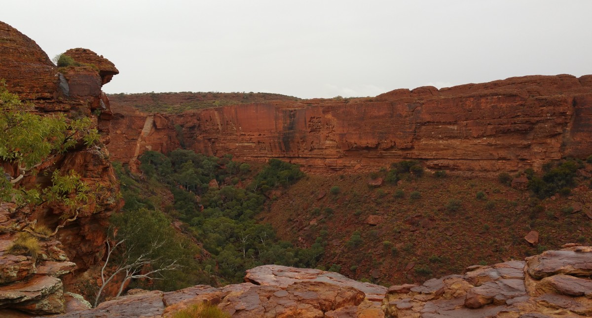
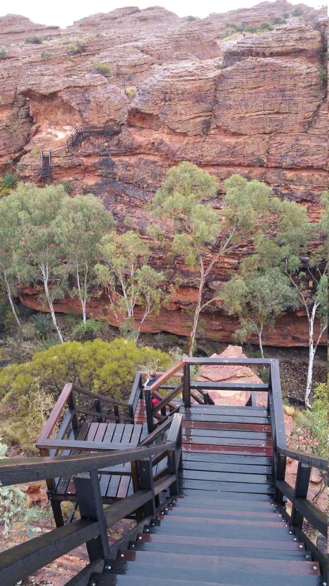
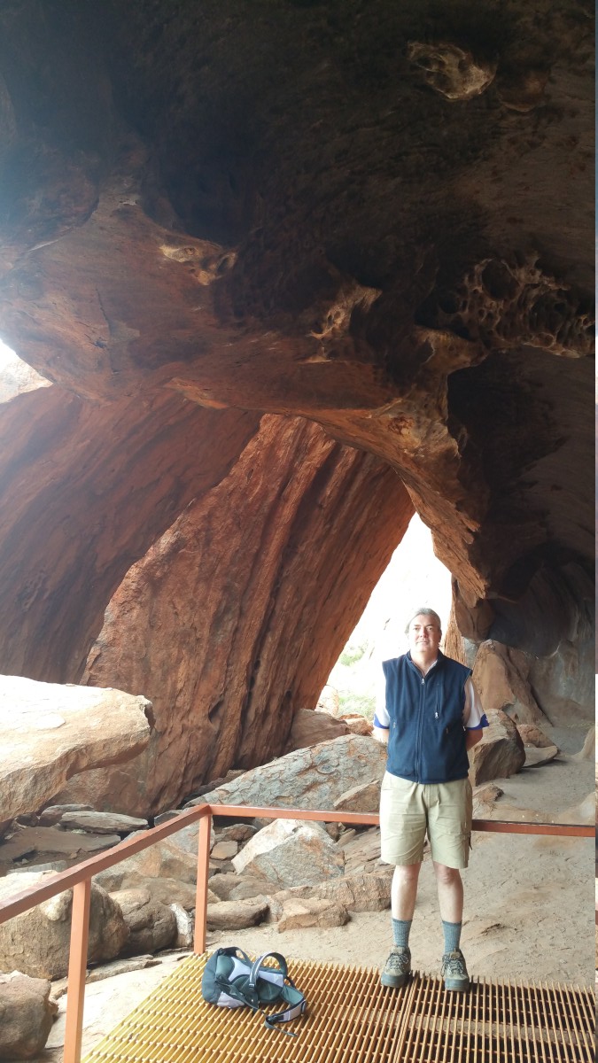
Large areas of the rock are not photograph-able, but you can see from the bits in this article, it is a different rock in different places.

Uluru4

Interestingly, the actual rock of Uluru is grey. The outside of the rock has had many of the minerals leached out leaving mostly iron that has rusted. You can see the actual colour of the rock below.

WhereAmI

BTW, Ash was with us but did not want to be in any photos.

Uluru2

Pip in Boots

PipInBoots.jpg

Poor dog has been finding the rocks and burrs of the Red Centre a bit hard going on his paws. We went to the vet to get advice and walked out with four small vinyl boots. After a bit of getting used to, Dog seems to have really taken to them, scampering around more than we have seen for a couple of years. Also, everyone who seems him in them comes over for a chat, so he is getting more pats too, which he loves.

Road to Kings Canyon

Natural pointillism of the road

The road from Glen Helen to Kings Canyon was quite an adventure. It was our first long stretch of unsealed road on the trip. I had driven a kilometre in the Barooga State Forest finding Paradise beach, and about 500 metres to get to Stanton Bend at Rutherglen, and 20 km round trip to get to the Australian Museum of Dinosaurs near Winton, but this was a 120 km rattler. While most of the road was find, the few bad patches were horrible to drive – rattling at 40km/h, bone shaking at 60km/h and deafening at 80km/h. We managed to shake off and shatter one or our driving mirrors and dislocate our toilet flap.

Outback humour
Outback humour

The road was pretty straight, but there were a couple of blind bends when we went through gorges. We found the “politically incorrect” street sign shown in the left. I remember it from last time we drove this road (15 years ago). The tin on the other side had been amended from “Put um back down” to “Take a break”.

Kings Canyon

Our next big sight was Kings Canyon. It starts with a terrifying walk up a ridge line.

KingsCanyon1

At the top there is a great view of the plain around.

KingsCanyon

You then walk through these amazing structures that change at different places, some are like beehives, others like wind carvings.

KingsCanyon3

You get these views of the other cliffs with interesting “swiss cheese” erosions.

KingsCanyon4

Depressingly, half way through the walk you come on a deep chasm you need to climb into and then our the other side – at that point of the work, every contour line is precious!

KingsCanyon5

The walk was very unusual because it rained gently thoughout. As Carmel quipped “How many people have seen Kings Canyon in the wet!”

KingsCanyon2

However, Ash did not mind and enjoyed the various shapes to explore

KingsCanyon6

As did I

KingsCanyon9

The most depressing part of the visit though was the diesel prices!

KingsCanyonPrices